Looking at the Wales Coast Path as it passes across Carmarthenshire, one can’t escape … a) the lack of “coastalness” in some of the stretches, and b) the presence of a long 10 mile part of it – The Millenium Coastal Path – which runs from Burry Port to Bynea, which just shrieks “Cycle me!” So we did. In fact after a stretch coming out of Carmarthen, to Ferryside, the path was generally flat and easy to cycle. We were following the NCP 4 route, not the WCP which goes inland from Ferryside until nearly Kidwelly.
So … our journey started at Gowerton railway station where we boarded the train for Carmarthen, having parked #duettovan in the nearby car park. We had plenty of time to wait and strike up conversation with some “30-year incomers” from Rotherham and Alec enjoyed the banter with them. We did learn about the concessionary winter fare deal that WAG has subsidised for the Heart of Wales line from Swansea to Shrewsbury until Spring 2017 that allows Bus Pass holders to travel free on the line. Great idea – we plan to make use of it this autumn.
.jpg")
Getting in to Carmarthen we had to negotiate a couple of roundabouts – but cyclepaths were present – and we were soon pushing on up to the highest point of the ride (122m – see below) …
.jpg")
This stretch of cycling was quite hard for me with my heavy bike and the road went up and down quite a bit (and I had to get off – literally “pushing on up”), before we went down a lovely long slope to sea level at Ferryside …
.jpg")
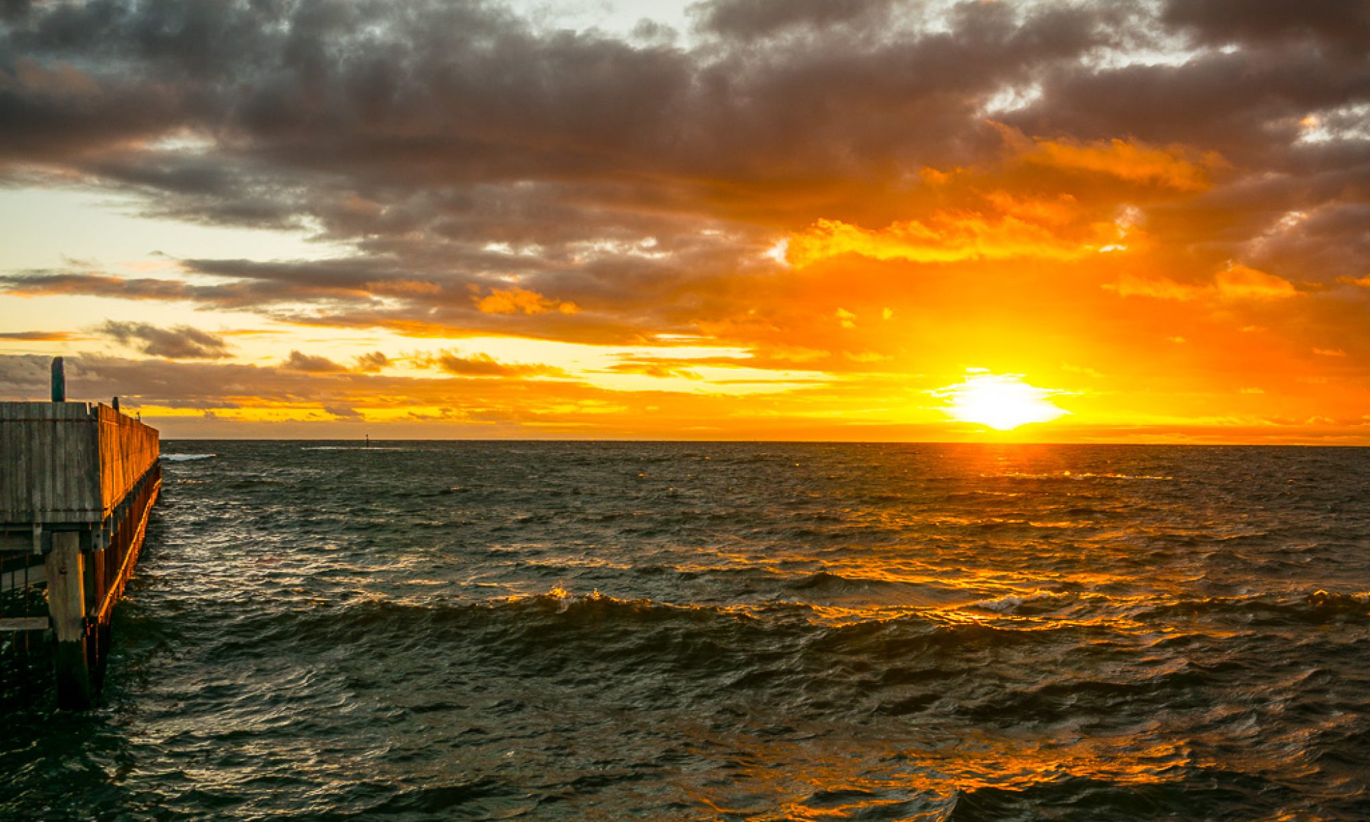
The photo above is looking across the Towy estuary to Llansteffan, as is the pano shot below, of the mouth of the Towy where it meets the Taf. This was taken just before we passed St Ishmael’s Church.
.jpg")
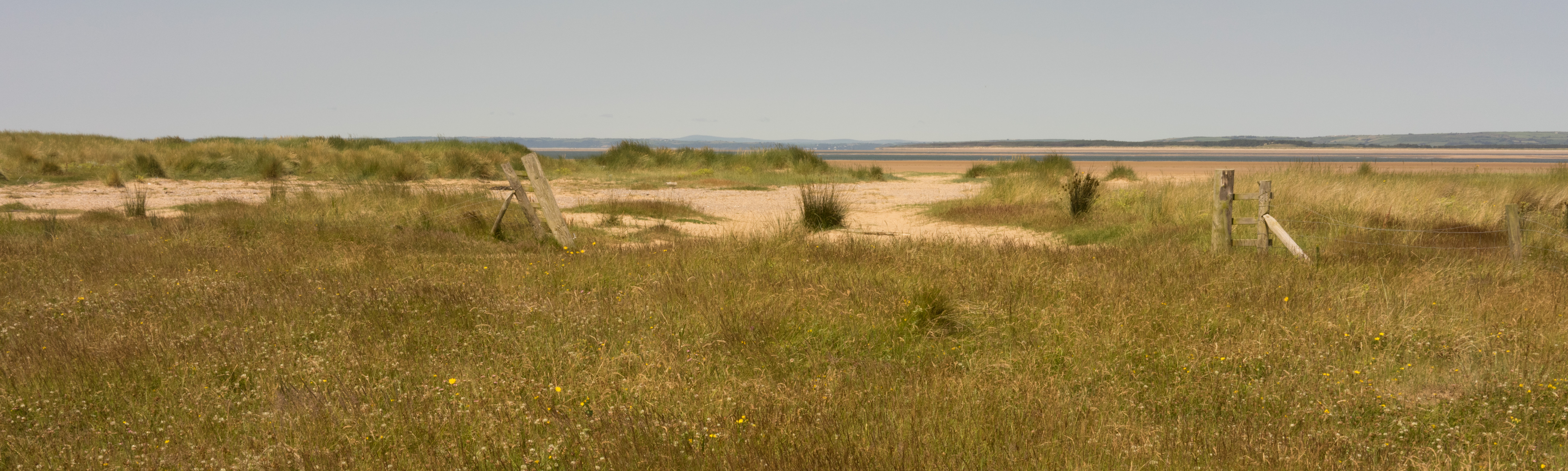
Rounding the point and heading towards the estuary of the Gwendraeth, another huge pano opportunity offered itself – here looking towards Pembrey Forest …
.jpg")
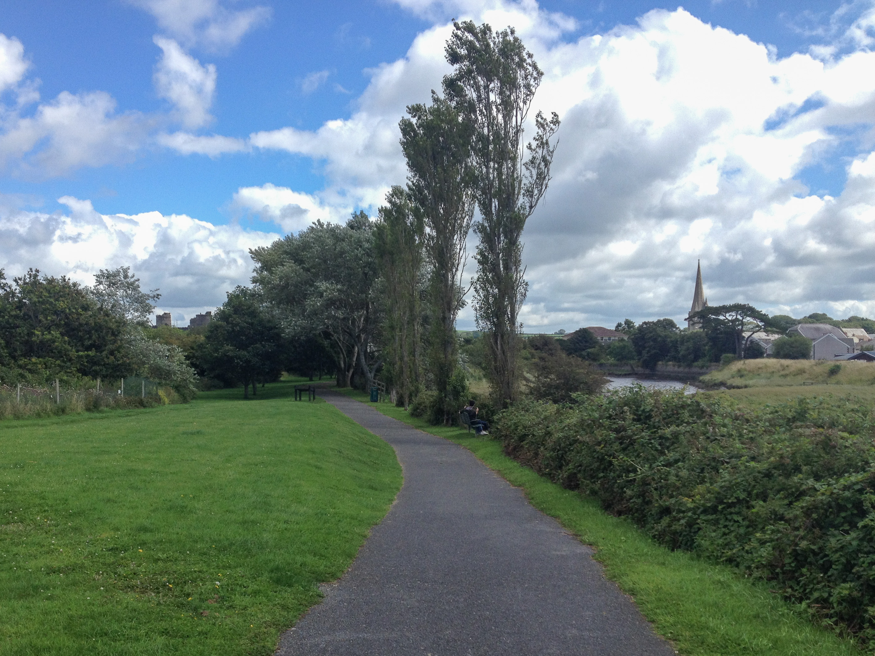
… and so we continued on the metalled road (on NCP 4) alongside the estuary and past Carmarthen Bay Holiday Centre until we got to Kidwelly. [I rather like the almost fenlike image of approaching Kidwelly, and the castle, that’s the image at the top of this post.]
We were looking forward to having a pub lunch in Kidwelly, but I thought – we need to take a look at the castle first …
.jpg")
… certainly worth a return visit with our CADW cards in hand. Something for the month’s ahead – but not coupled with a pub lunch. There weren’t any pubs open in Kidwelly! We did have a nice sandwich in The Gatehouse, just down from the castle though. So back on our bikes again, we left Kidwelly, on the permitted cycleway on the pavement alongside the A484, until we took the path around Pembrey Airport and beside the firing range to take us into Pembrey Forest.
.jpg")
The path through the forest was pleasant enough, but I’m glad we were cycling it. Enough said! Emerging from Pembrey Forest by the entrance to the caravan site beside Pembrey Country Park, we joined the Millenium Coastal Path which took us into Burry Port.
.jpg")
.jpg")
I’d never been to Burry Port, (I’d only driven through Kidwelly) I didn’t know it had a marina. We had an ice cream stop. Much needed after all our pedalling.
.jpg")
Leaving Burry Port we were now cycling along the northern shore of the Loughor Estuary. It was not difficult to be impressed at the tidal range of this estuary as when we had gone along here in the train, earlier that day the sea had been lapping at the coastal defences – which had been breached in February 2007. The photo below is looking across to The Gower and Llanrhidian from near Tywyn Bach.
.jpg")
We were now on the Millenium Coastal Path proper and soon we were being overtaken by some power cyclists who (perhaps we suspected with electrical assistance in certain cases) passed us at great speed. The final shot is taken looking back along the way we’d cycled, from near Llanelli. All that was left to do to finish a great day out was to find somewhere for a drink. That we did near Sandy (just short of Llanelli. A pub on the lake. Can’t really rate it very high for it’s beer, but the location was good.
.jpg")
Leaving Llanelli, we passed some very strange housing – we’d seen it from Llanmadoc earlier in the summer and had wondered what it was. They had an amazing view and one could well imagine that if located anywhere else but Llanelli they would have commanded a very high price. Next it was past the Jack Nichlaus designed golf course near Morfa, near to where Alec had an interesting encounter with a dog. Soon, after passing the Wildfowl and Wetlands Centre (note to self – another place to visit when not on a bike), we managed to separate – just after Loughor Bridge. [This was also after being deceived into crossing the A484 and the railway line by some mischievous turning of a sign {GR 553983}.] I followed NCP 4 as it first climbed up through Loughor and then crossed the marshes to join the B4295 out of North Gower and then on into Gowerton – the road we’d cycled a couple of weeks before. Alec stayed on the A484 and powered back to Gowerton on main roads and got there at least 10mins before I did.
A great ride. Glad we decided to cycle it rather than walk it which would probably have taken three days walking to cover the 39 miles we’d ridden, as you can see below …
.jpg")
.jpg")
.jpg")
.jpg")
.jpg")
.jpg")
.jpg")
.jpg")
.jpg")
.jpg")
.jpg")
.jpg")