Leaving the best ’till last

🙂 I don’t often agree with Alec, but he was spot-on in his assessment of this, our final section of our walk round The Gower – this stretch of coastline equalled anything else we’d walked, even matching some of the marvellous Glamorgan Heritage Coast we walked last year. On a lovely summer’s day with our wives – Angie and Jenny – for company we completed the 7.9 mile walk in less than 6 hours with a generous number of stops for photo-taking and lunch. The walk was generally easy, along the cliff top, but with a few gentle descents and ascents where we had to cross valleys. The views, as you will see from the included images below, and the extended set on Picasaweb (starting here) or on Google Photos from image 51 – if you can find it   🙄 – were truly magnificent.

We met at The Ship Inn at Port-Eynon, Alec having previously negotiated a parking space on the back of the promise of us having supper there later. We got into our car and drove to the National Trust car park at Rhossili and started the walk at about 11:00am. A gentle walk down towards Worms Head, looking north towards Rhossili Bay where Alec and I had walked the week before. [Clicking on the images should open them in their own window – which is good for the panorama shots!]

Gower3 (2 of 25).jpg

Passing on round the headland, and past the Information Point, we were soon able to look back on Worms Head – which we could have walked across to – as the tide was not due to make things difficult for at least another three hours – but we didn’t!

Gower3 (3 of 25).jpg

Beyond Tears Point we were able to see the sequence of sandy bays, first Fall Bay – where we saw something moving in the water, but couldn’t identify it …

Gower3 (5 of 25).jpg

… then Mewslade Bay – a couple of different views below …

Gower3 (9 of 25).jpg

Gower3 (12 of 25).jpg

… and then looking across Mewslade Bay towards Thurba Point …

Gower3 (13 of 25).jpg

… before we reached the cliff tops that took us across the platform above Red Chamber, Deborah’s Hole and Paviland Cave – all sites with archaeological significance (I believe) …

Gower3 (15 of 25).jpg

We stopped for lunch on the cliffs somewhere near Foxhole Slade and were treated to the sight of a pair of Choughs as we ate.

Gower3 (16 of 25).jpg

I rested as well [thanks Alec  😉  ] …

20150730_144715

… as did the Painted Lady butterfly Alec got  picture of …

Painted Lady 20150730jpg

It was then on past Blackhole Gut and Common Cliff, until we dropped down below Overton Cliff and along the solifluction terraces above the wave-cut platform, before our last climb of the day on to the cliffs above Culver Hole …

Gower3 (21 of 25).jpg

… where we able to look back on Overton Mere …

Gower3 (22 of 25).jpg

… before the final walk up to the monument on Port-Eynon Point.

Gower3 (24 of 25).jpg

From there we were able to look across Port-Eynon Bay – seeing Nicholaston Farm in the middle distance (look for the camping site with the blue rig in the centre, when enlarged, of this picture) – in completely different weather to that which we’d experience a fortnight before.

Gower3 (25 of 25).jpg

All in all, a really splendid walk. FinalGowerBlog (2 of 14)Really pleased and happy to have been able to have shared it with Jenny and Angie. We were tired at the end, but that was probably due to the sun as much as physical exertion. The walk was not particularly challenging; the descents and ascents were generally gentle. A great time was had by all, finished off with early-supper in The Ship Inn, which served up huge portions of cod and chips. We were home before 7:00pm.

Llanmadoc circular

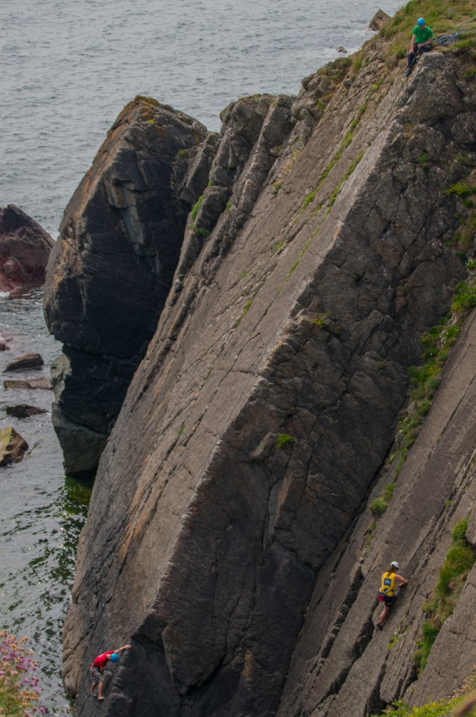
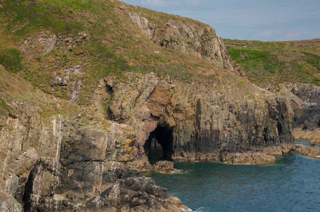
Today was the sunny day. Thank goodness we had one. To celebrate, we decided to walk as a foursome and to do the headland walk round Berges Island at Llanmadoc. This walk along Whiteford Sands and then back along the lee side looking over Llanmadoc Marsh is a lovely generally flat walk starting from the Whiteford car park. It’s an optional extension to the Wales Coast Path – one however that I don’t think should be missed. The panoramas on a clear day like we had are truly amazing looking out over the Burry estuary and Llanrhidian marsh.

Not too much to describe, just some lovely views …

Gower (19 of 33).jpg

Gower (21 of 33).jpg

The panorama below is from 5 images stiched together in Lightroom. The expanse of sand is quite staggering. The coastline in the background is that of Llanstephan (and possibly Laugharne).

Gower (22 of 33).jpg

Gower (23 of 33).jpg

Gower (24 of 33).jpg

The old Lighthouse at Whiteford Point with Burry Port in the background.

Gower (25 of 33).jpg

Gower (26 of 33).jpg

Our lunchtime sandwich break view …

Gower (27 of 33).jpg

… and again a panorama made up of 6 or 7 images, looking across the whole of the Loughor/Burry estuary.

Gower (28 of 33).jpg

A carpet of flowers – the picture doesn’t do them justice.

Gower (29 of 33).jpg

Looking across towards Llanrhidian marsh.

Gower (30 of 33).jpg

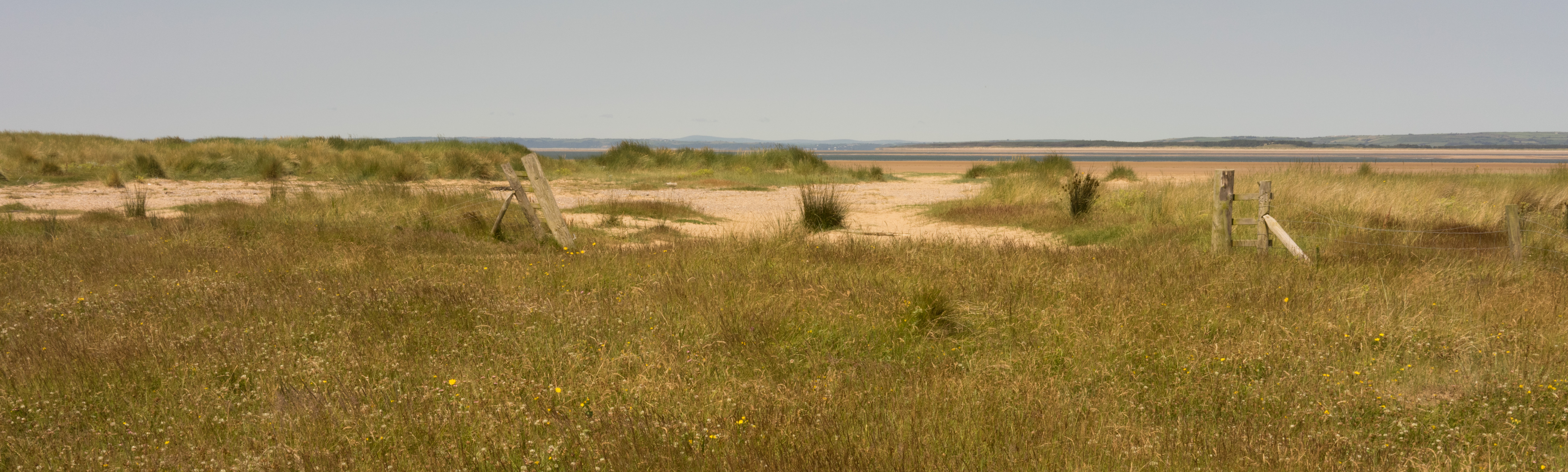
Walking beside Llanmadoc marsh.

Gower (31 of 33).jpg

As we finished the walk we came across a National Trust Ranger who told us about the birds that are visiting the marsh at Llanmadoc, and the ecosystem changes that are taking place as a result of the seawall having been breached and the marsh reverting to salt-marsh. You can see the trees that have started to die back. They have also created a platform in one of those trees hoping to attract osprey at some time in the future. The hide is in place, a great place to watch birds in winter.

The walk was just over 5 miles, but thoroughly delightful, and the company was good too! We went to the King Arthur Hotel at Reynoldston on the way back for afternoon tea and then returned for supper that night and then back for a little liquid refreshment. The King’s Ginger was quite popular.